Yosemite National Park
We entered Yosemite National Park on the morning of Tuesday, September 23 via the east side, Tioga Pass Entrance. The Tioga Pass Entrance is less traveled and closes each winter due to its higher elevation. More park visitors enter from the west because it is closest to the big cities in California, Oregon, and Washington. Like many of our road trips, we used the GuideAlong iPhone app (fka Gypsy Guide). If you are into road trips, this is a great app because it uses GPS to narrate points of interest, trail heads, and even sites to avoid. The narration is informative and funny. We drove the Tioga Road Scenic Drive and hiked in an area called Tuolumne Meadows.
Day 1
We stayed outside the park this first night in a small town called Lee Vining. It was only a few minutes from the Tioga Pass Entrance and reentered the park early in the morning to continue the scenic drive. We spent most of this day hiking and driving along Tioga Road on our way to Yosemite Valley. This is the area that Yosemite NP is most known for and it is busy with traffic and people. However, there is lots to see in the valley: El Capitan, Bridalveil Falls, Vernal Falls, Yosemite Falls, Tunnel View and lots more. We always prioritize our hikes to see waterfalls and there are lots to see in Yosemite. However, the water levels are always lowest in autumn, but that didn’t prevent us from hiking to several of the falls. All worth the time and effort for the reward of a beautiful view.
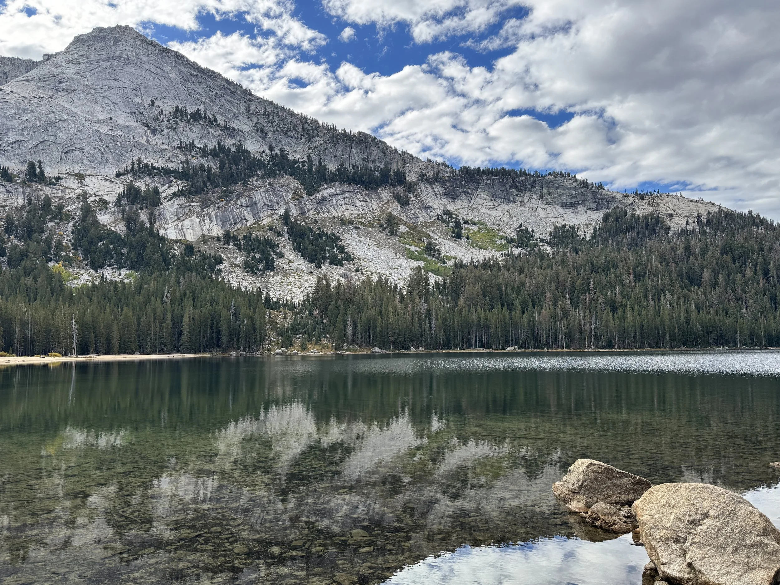
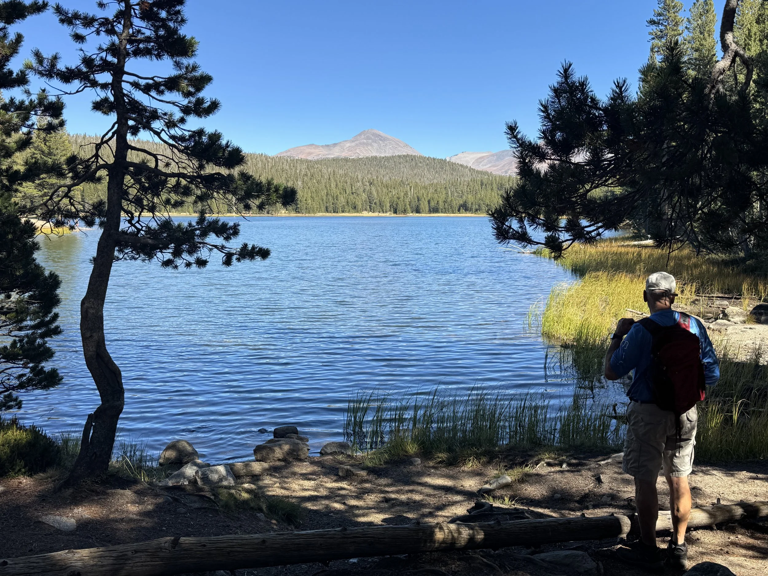
Tenaya Lake is a beautiful alpine lake on the Tioga Pass and only accessible from June to October.
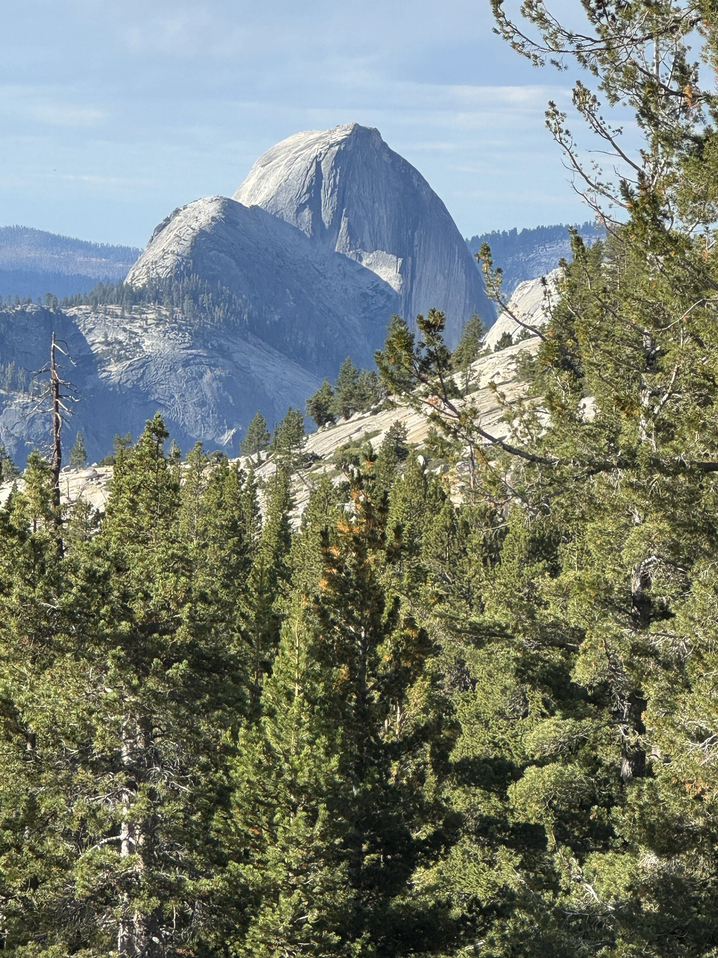
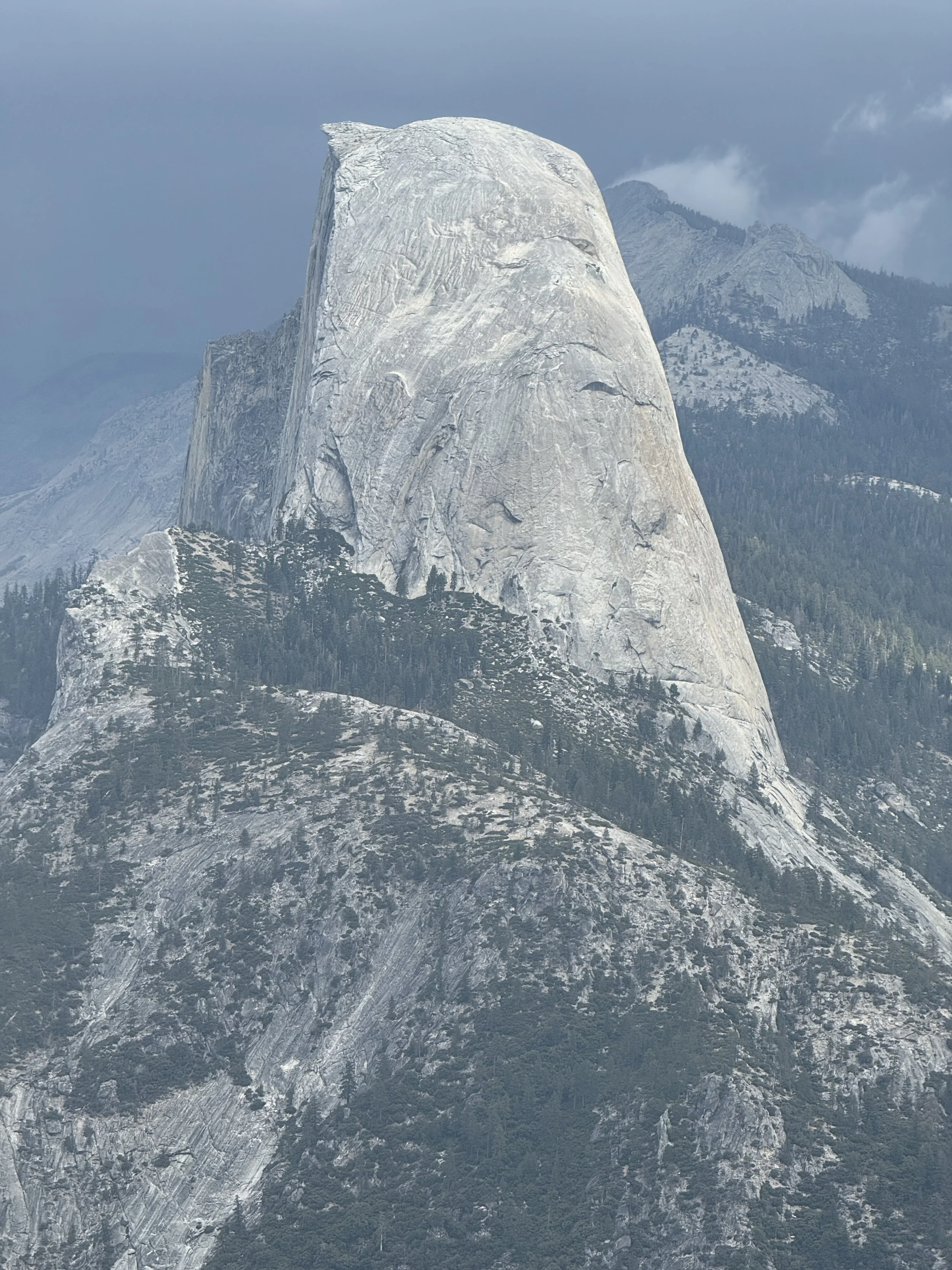
Half Dome is a famous landmark in Yosemite and can be viewed from many places. This was taken from Olmstead Point. Frederick Law Olmstead is the famed landscape architect credited with New York Central Park and advocate for public parks. Half Dome is a popular climbing/hiking 16 mile challenge that requires a special permit.
We hiked to Dog Lake which has an elevation above 9000 feet. It wasn’t a long hike but it really got our blood pumping with the altitude.
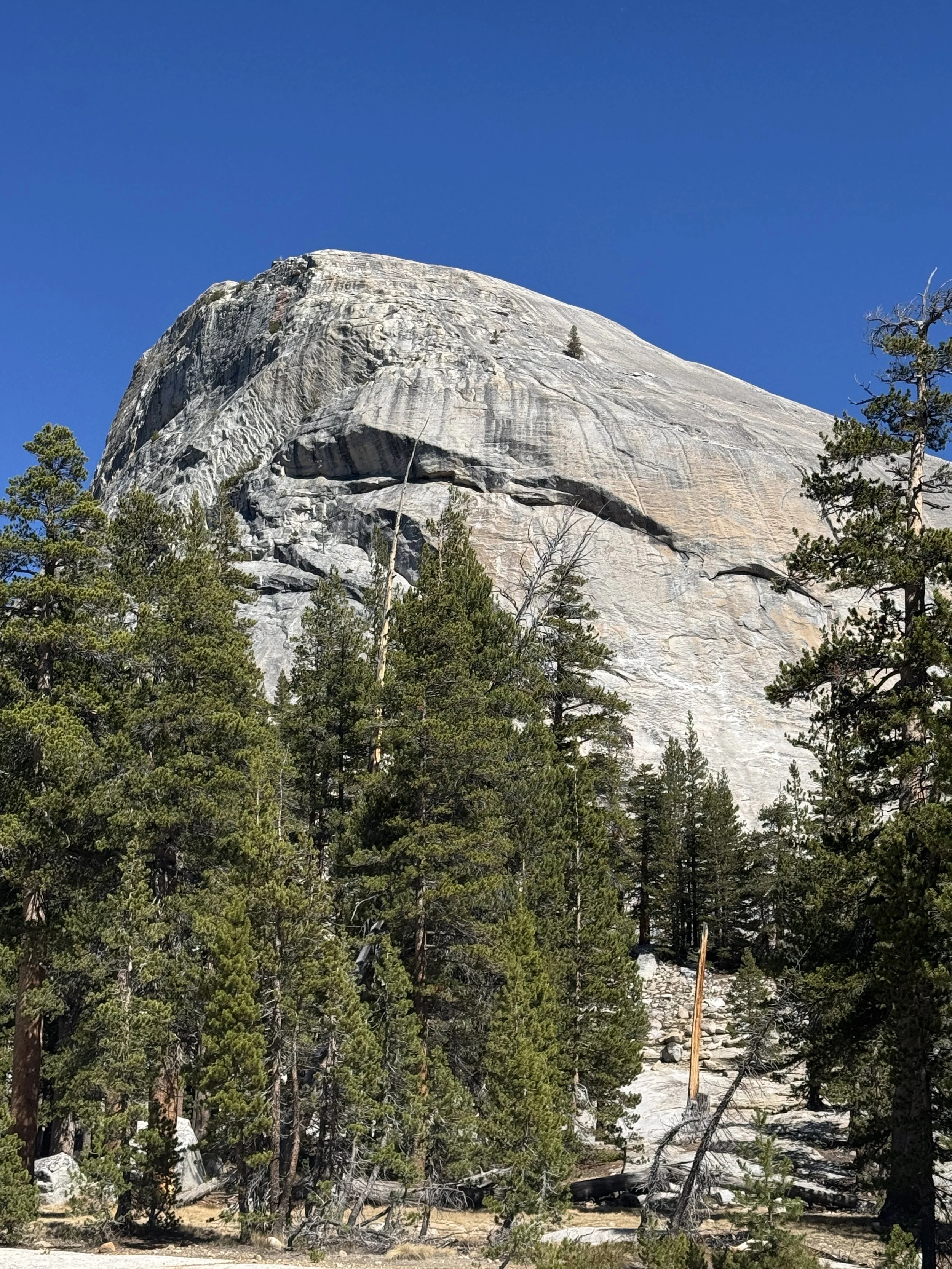
We passed by Lembert Dome on the way to Dog Lake. There are lots of these granite domes in Yosemite caused by cooled underground magma rising up to the surface over hundreds of thousand years.
Drive from Wawona Tunnel showing the classic Tunnel View of El Capitan and the Yosemite Valley

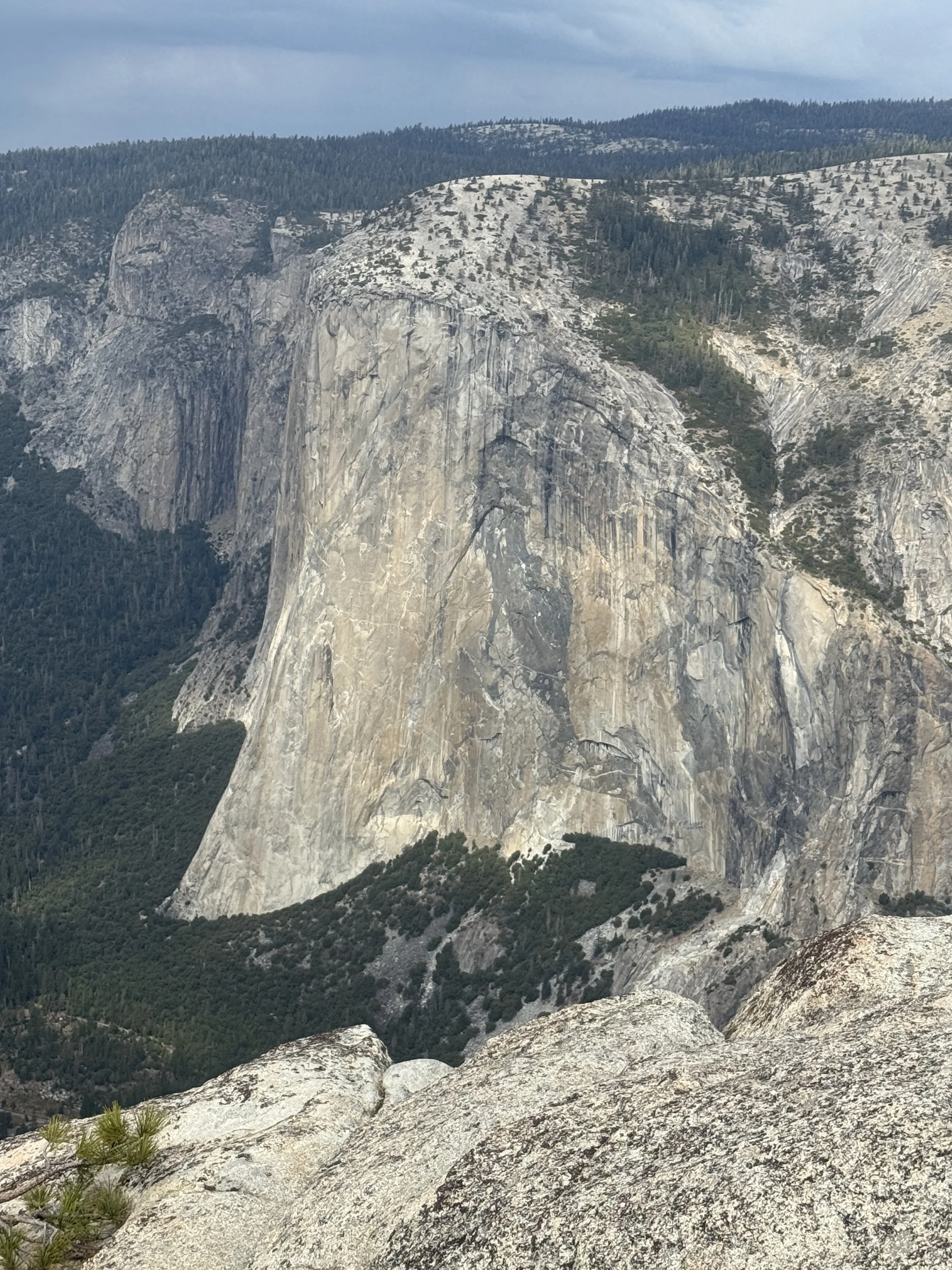
Yosemite Valley was created by glaciers so it has these high cliffs with wide meadows in the valley. This is the famous El Capitan and can be seen from just about everywhere in Yosemite. It is a bucket list item for climbers all over the world. Unfortunately, a climber fell to his death just a few days after we were here.
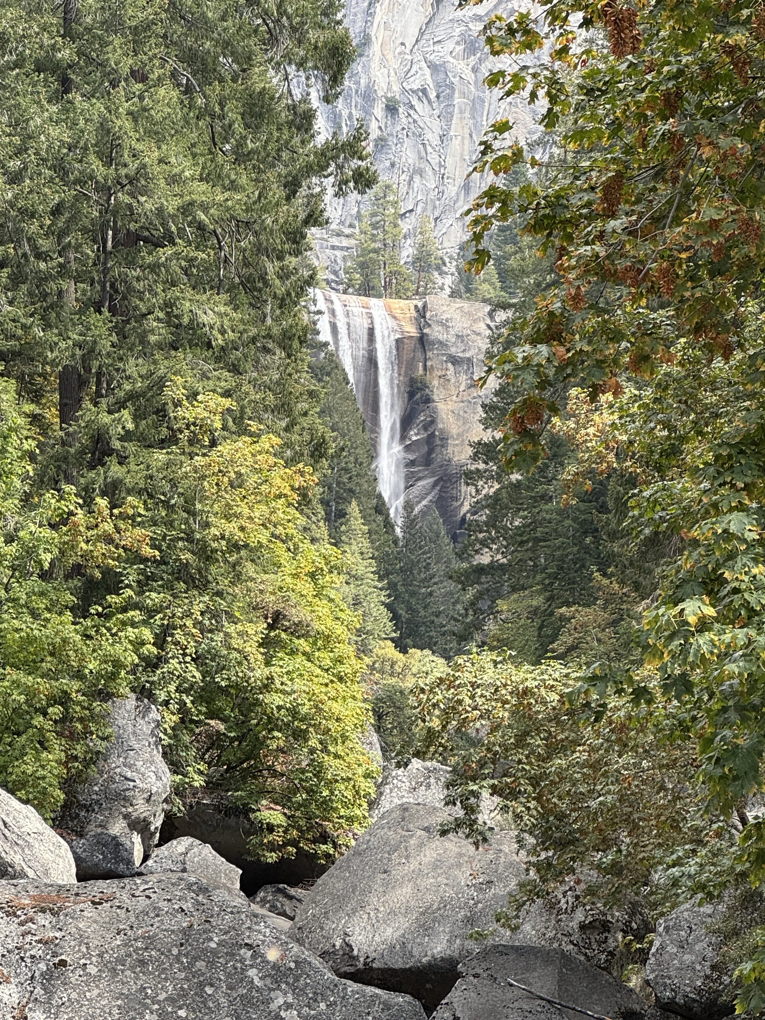
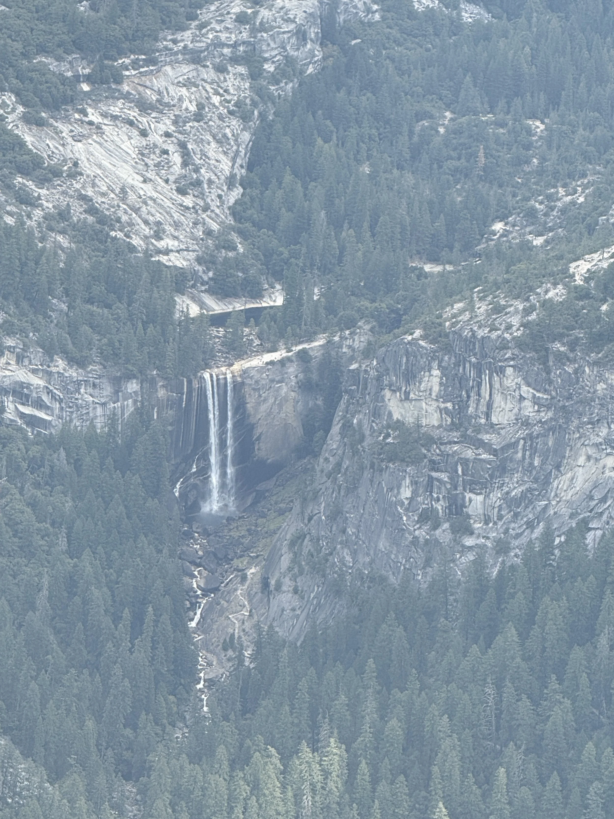
We hiked two miles up to the viewpoint for Vernal Falls. Hikers can continue going up to the top of Vernal Falls, then on to Nevada Falls and finally to the summit of Half Dome. The Half Dome hike is over 16 miles round trip.
The Merced River runs through Yosemite Valley. This photo shows a tiny view of Vernal Falls with Half Dome in the background,
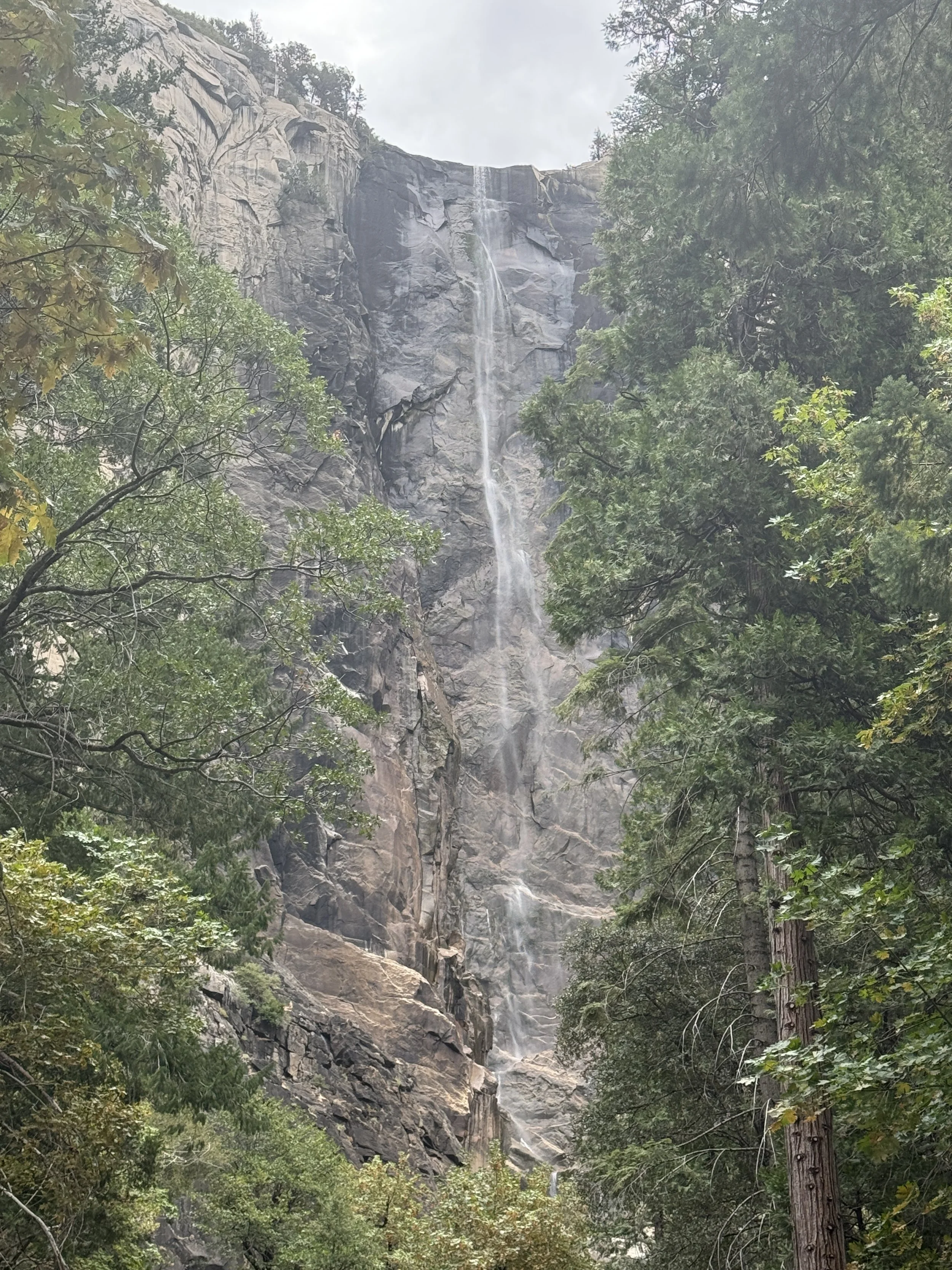
Bridalveil Fall is a easily viewed from the valley and aptly named. The water waves in the wind making it look like a blowing bridal veil. Watch the video clip below.
Bridalveil Fall


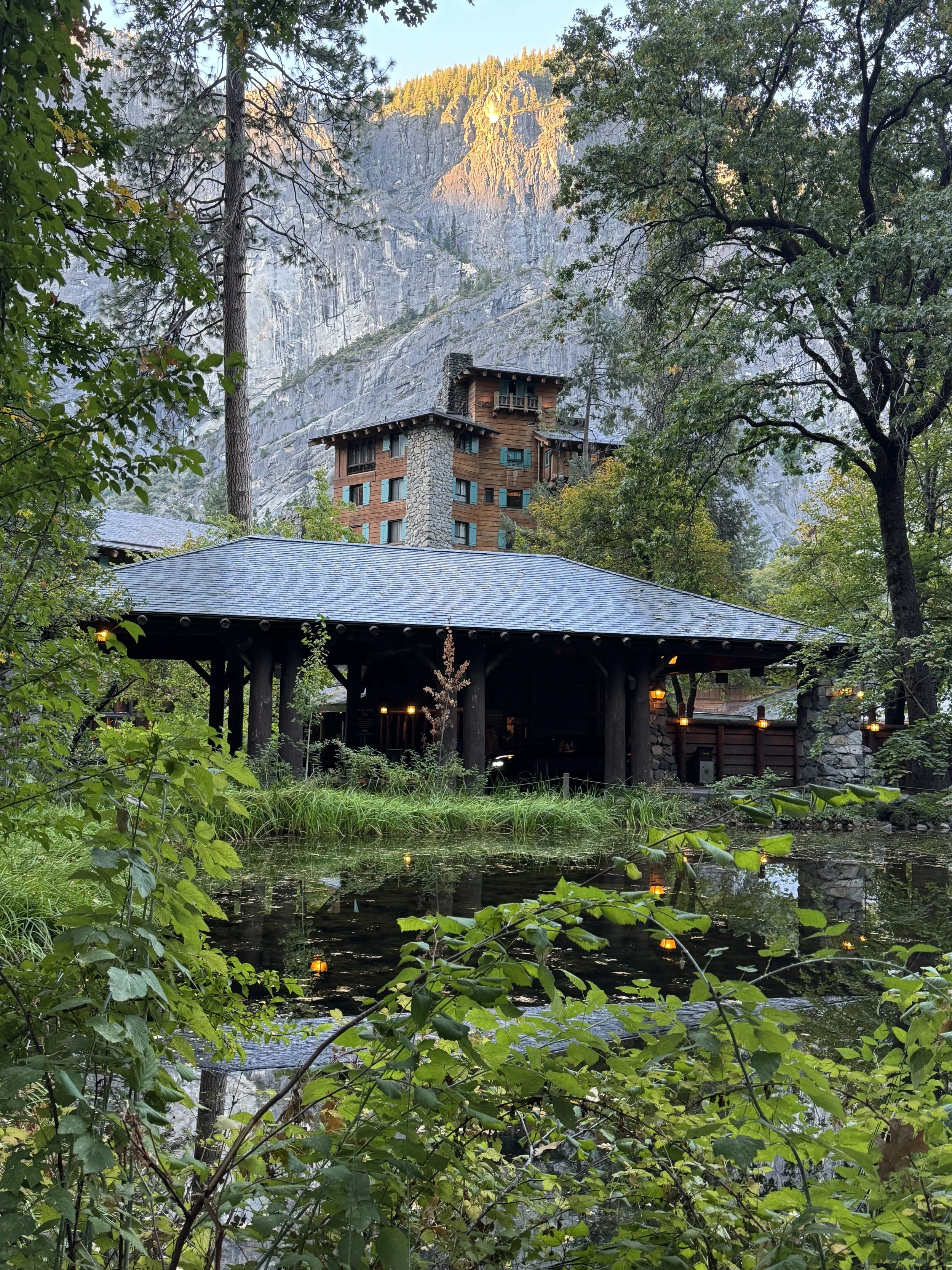
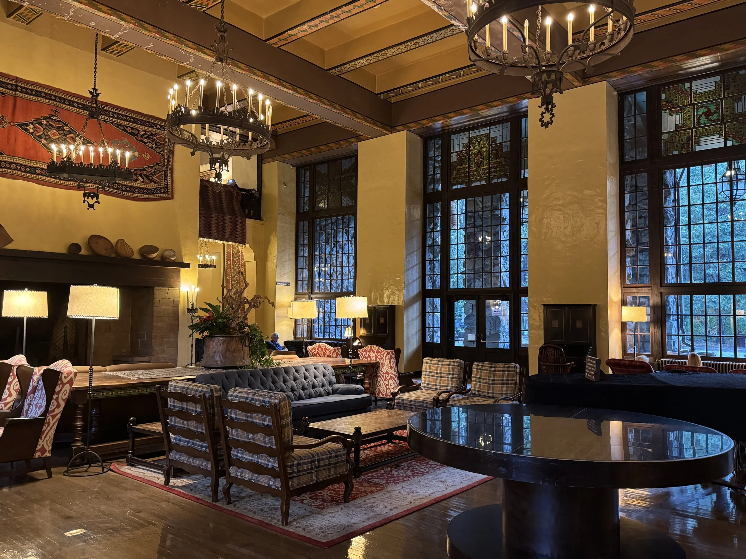
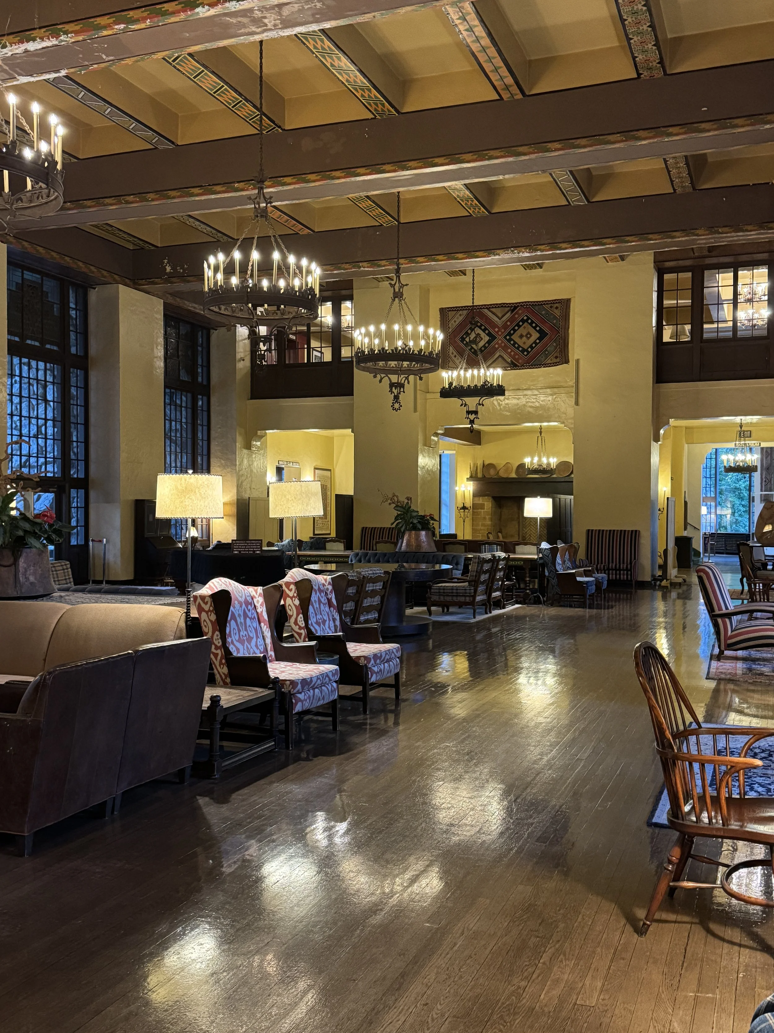
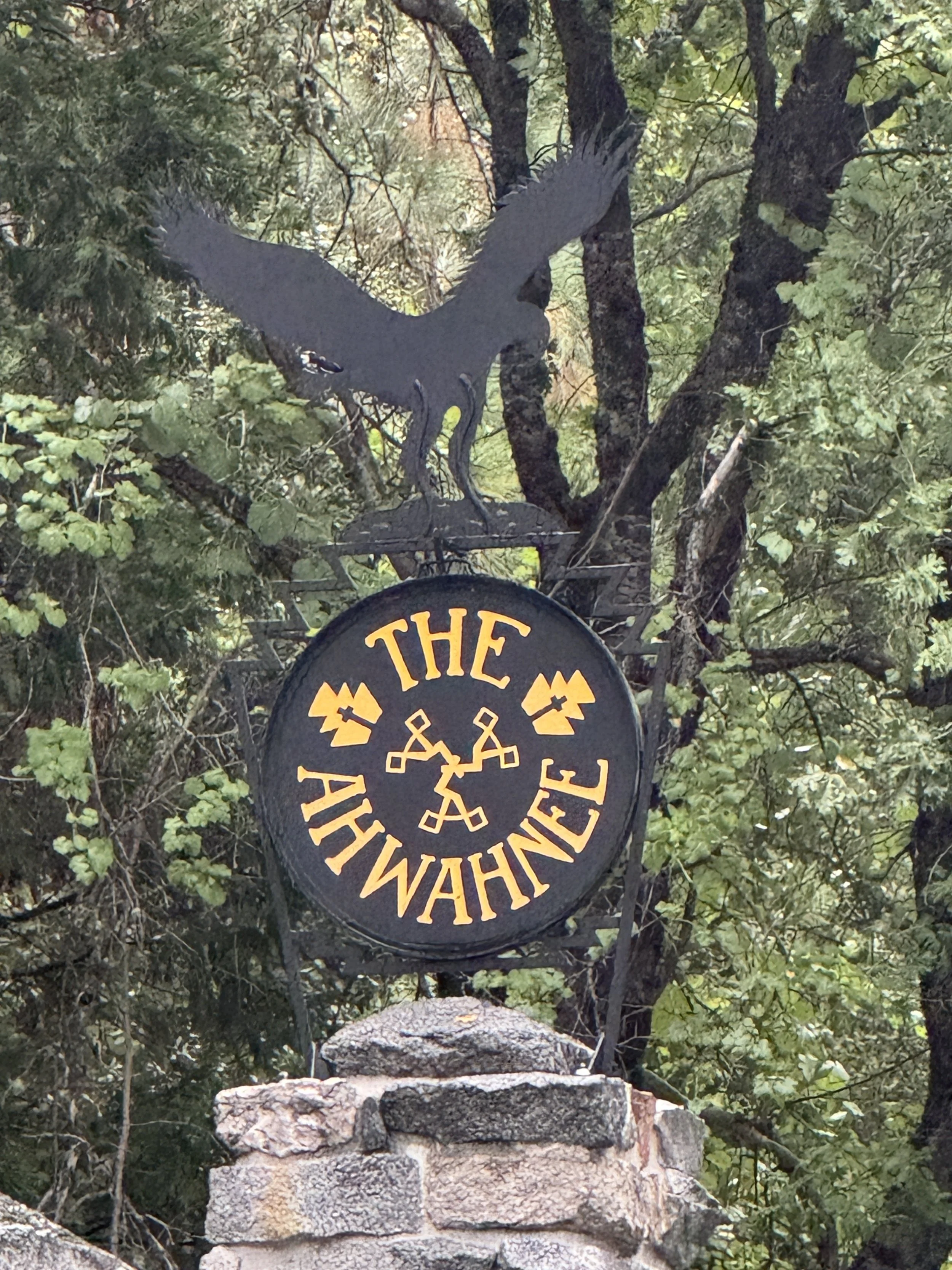
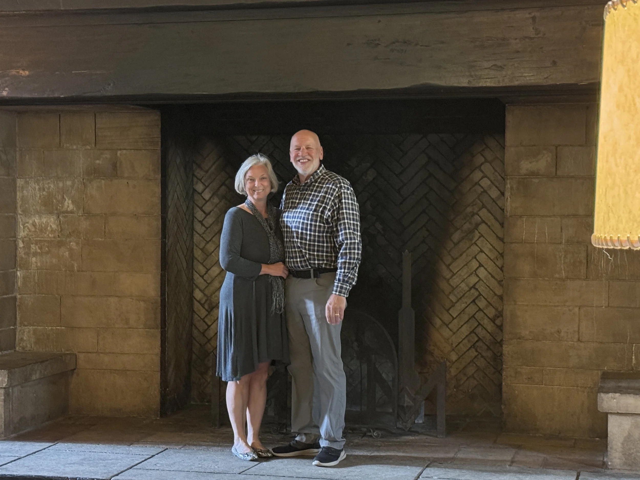
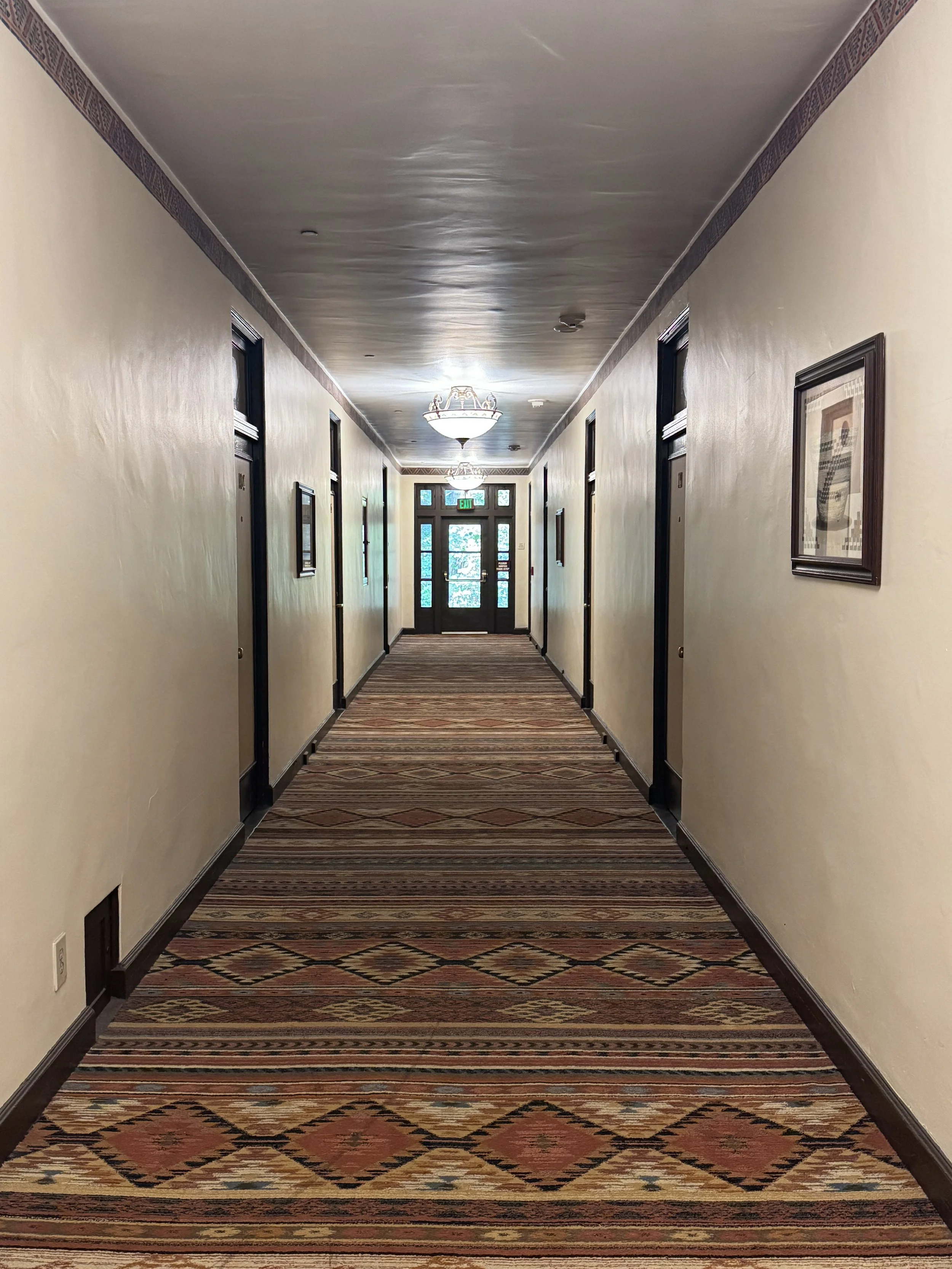
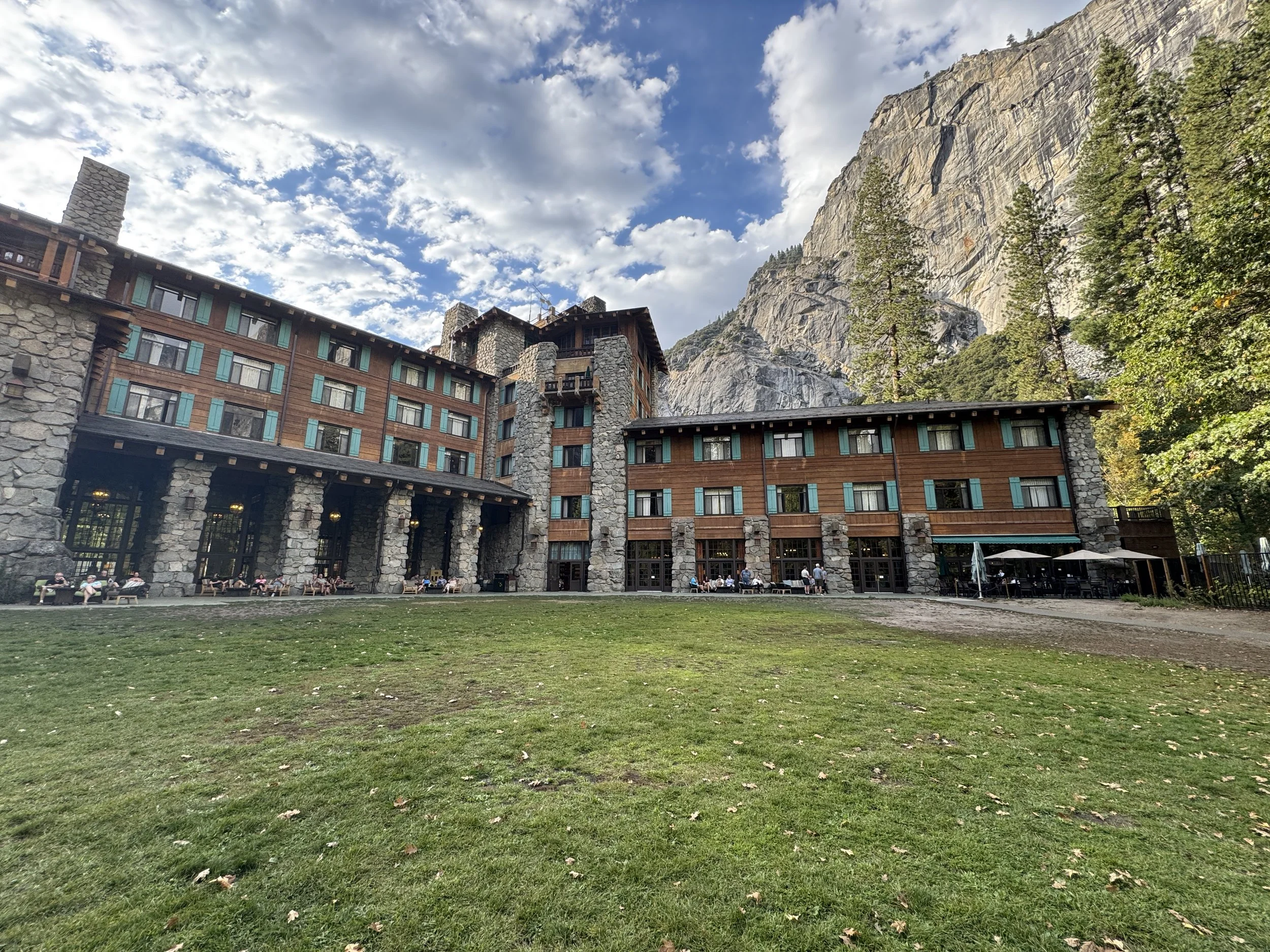
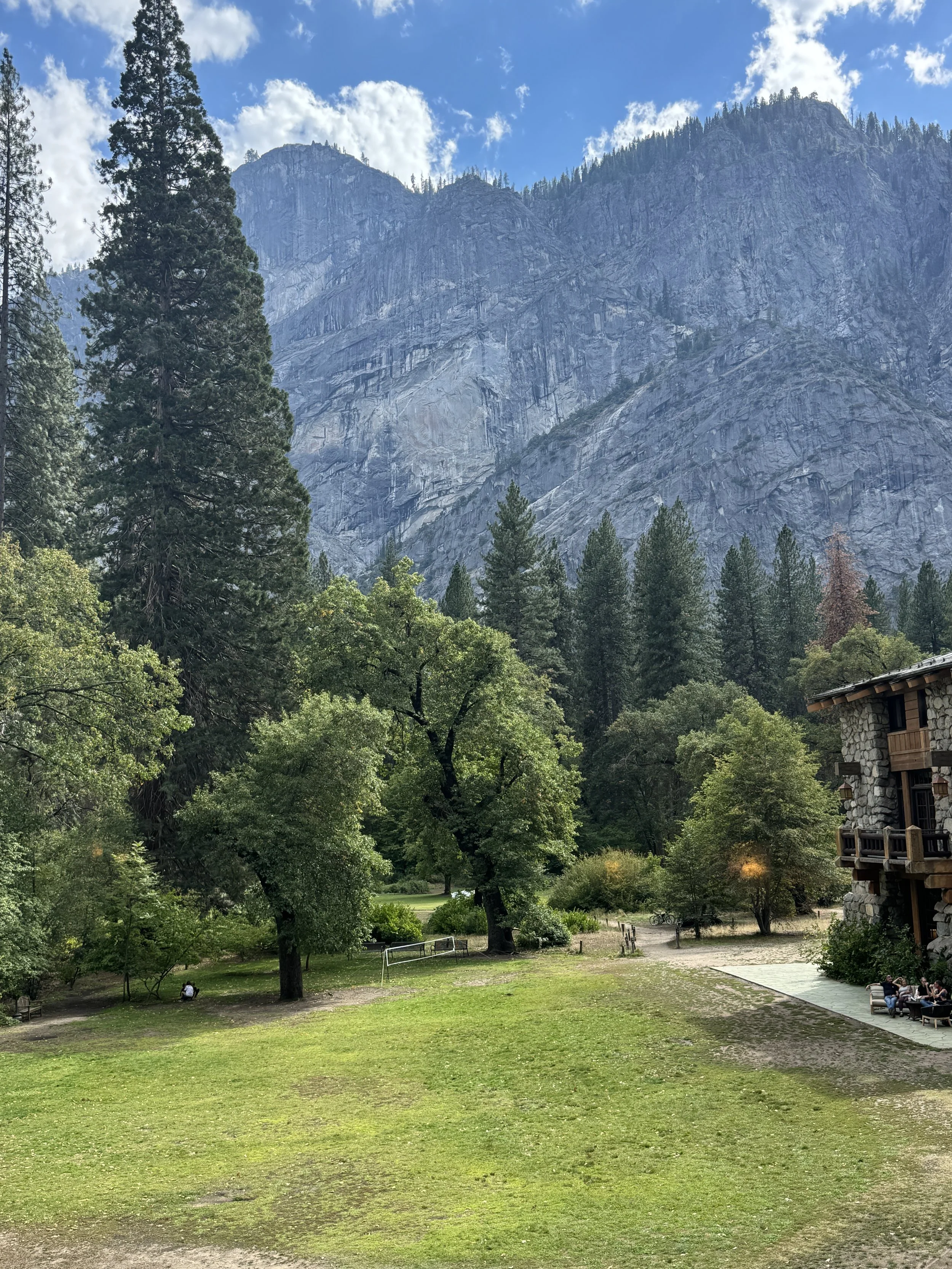
We love these historic national parks and we also love staying in their historic lodges. We booked The Ahwahnee a year in advance due to its popularity. The Ahwahnee was built in 1927 and it is not the oldest lodge in Yosemite, but it is the most famous. Queen Elizabeth II, many US Presidents and lots of movie stars have stayed in this hotel. It was a little pricey, but worth the experience of walking the same hallways as these legends. We find that most of the historic lodges are overpriced and a little plain compared to modern hotels, but we love them anyway. The Ahwahnee was the exception to plain, but definitely overpriced.
Fun fact: The interior of The Ahwahnee was used for filming The Shinning! You might recognize some of the movie locations in our photos.

Day 2
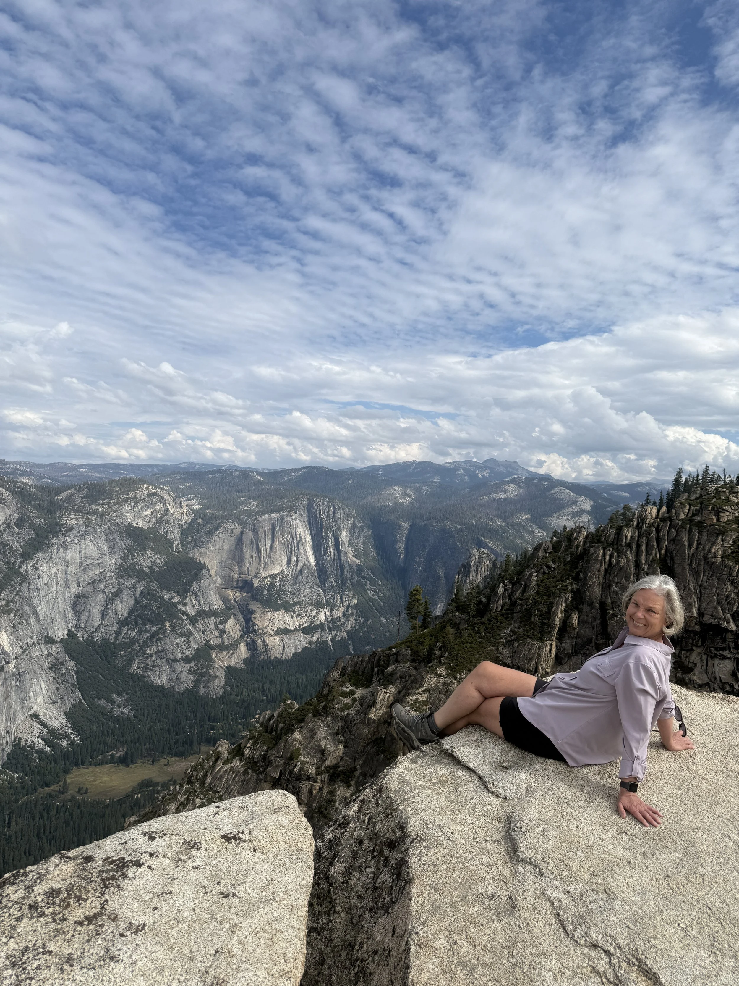
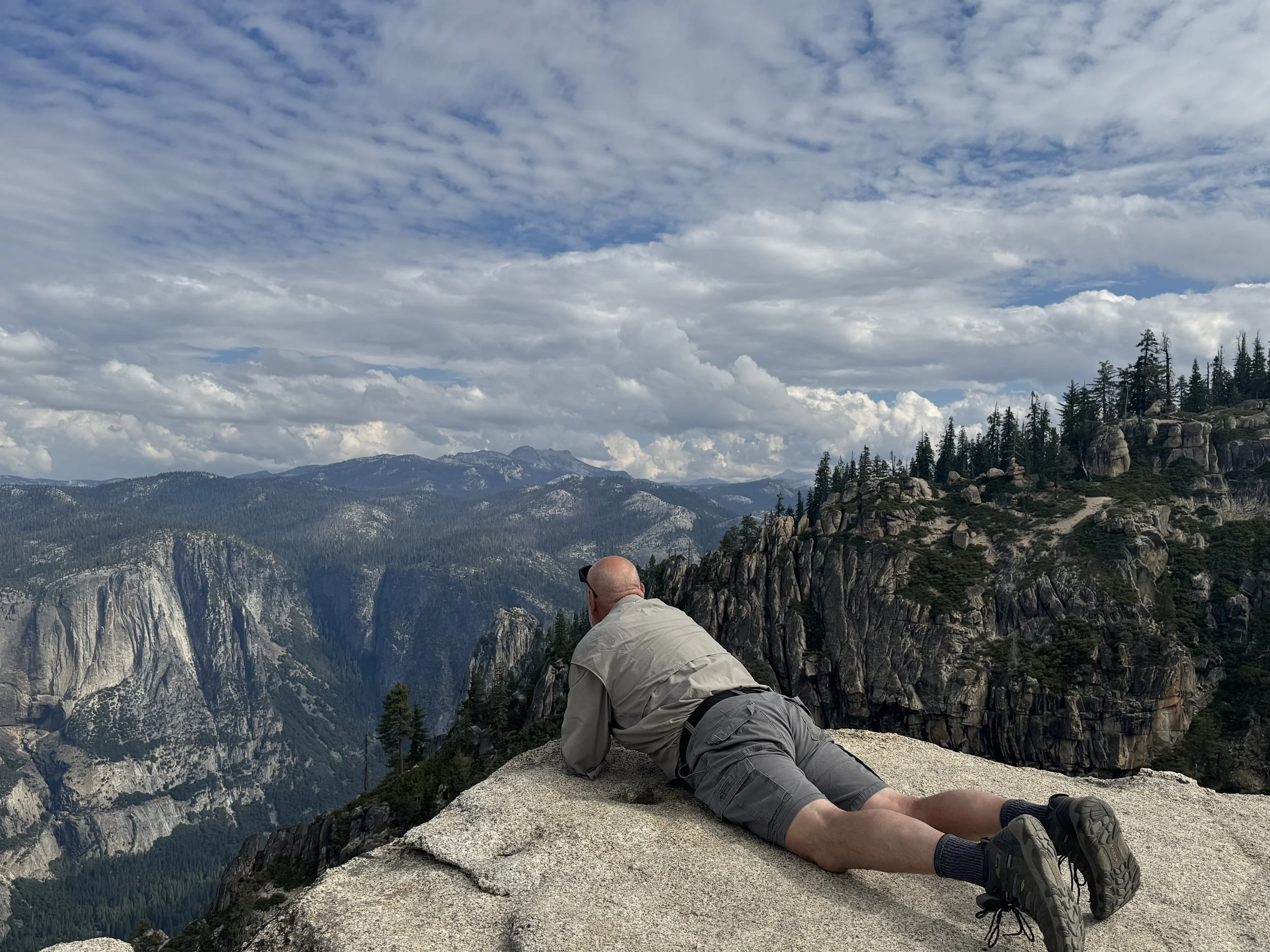
Our second day in Yosemite was all about getting away from the crowds. We drove over an hour away, but still inside the park, to Glacier Point. Before reaching the summit, we stopped at the trailhead for Taft Point and Sentinel Dome loop. The route up to Taft Point was just over a mile, followed by over two more miles up to the summit of Sentinel Dome, then another mile back down to our car at the trailhead. It was a challenging hike with lots to see and took us the entire morning.
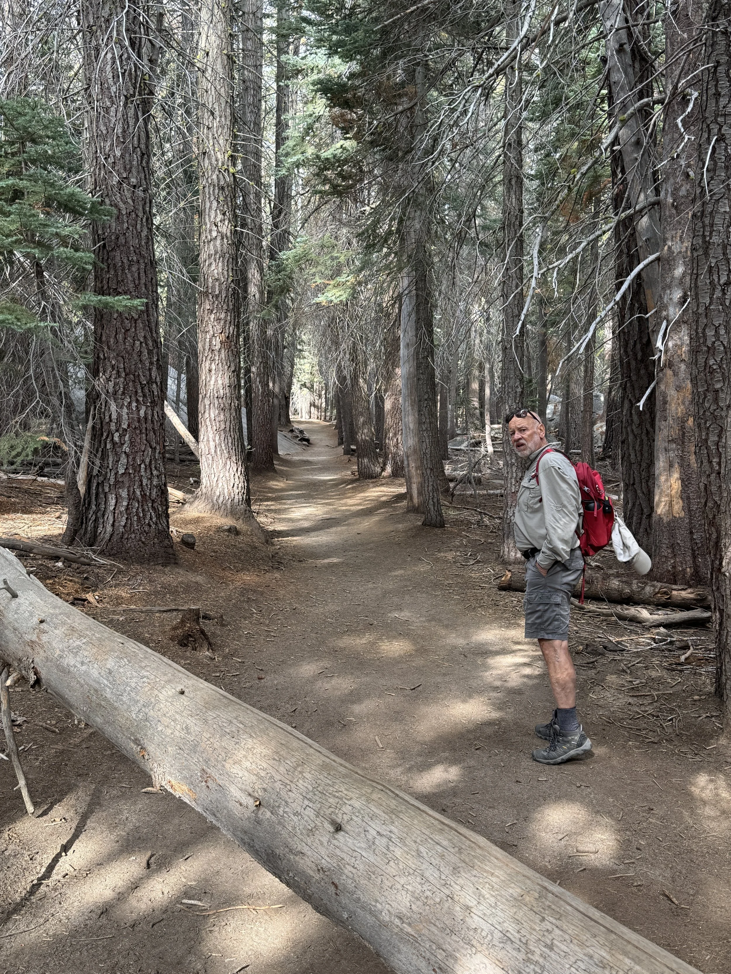
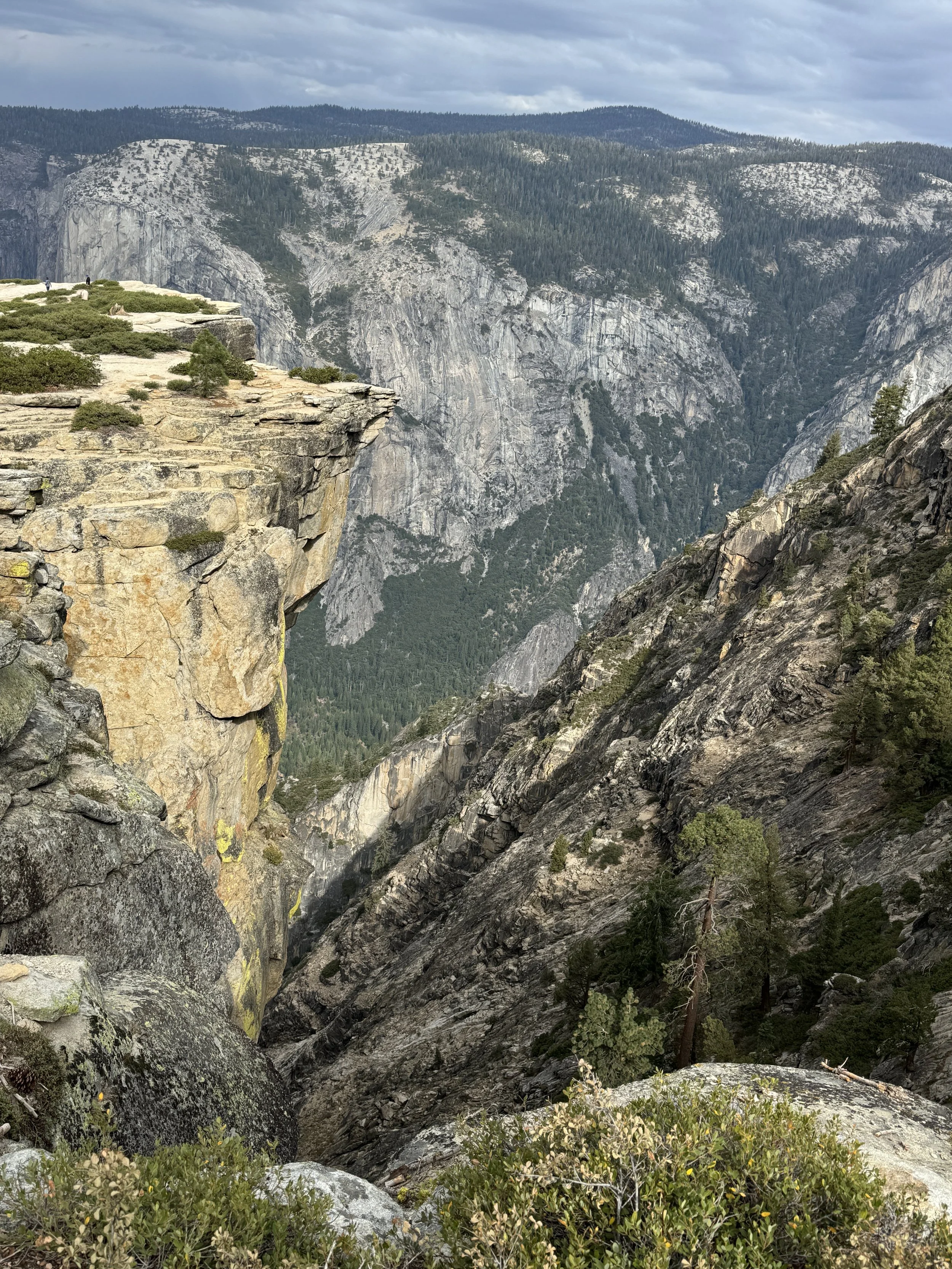
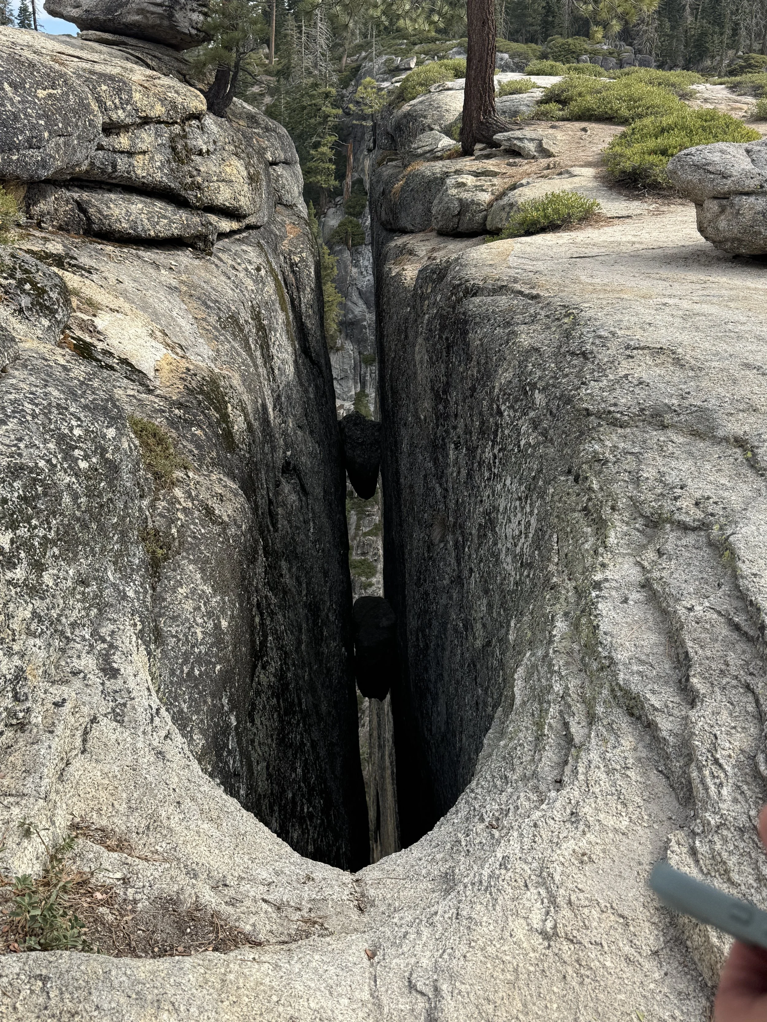
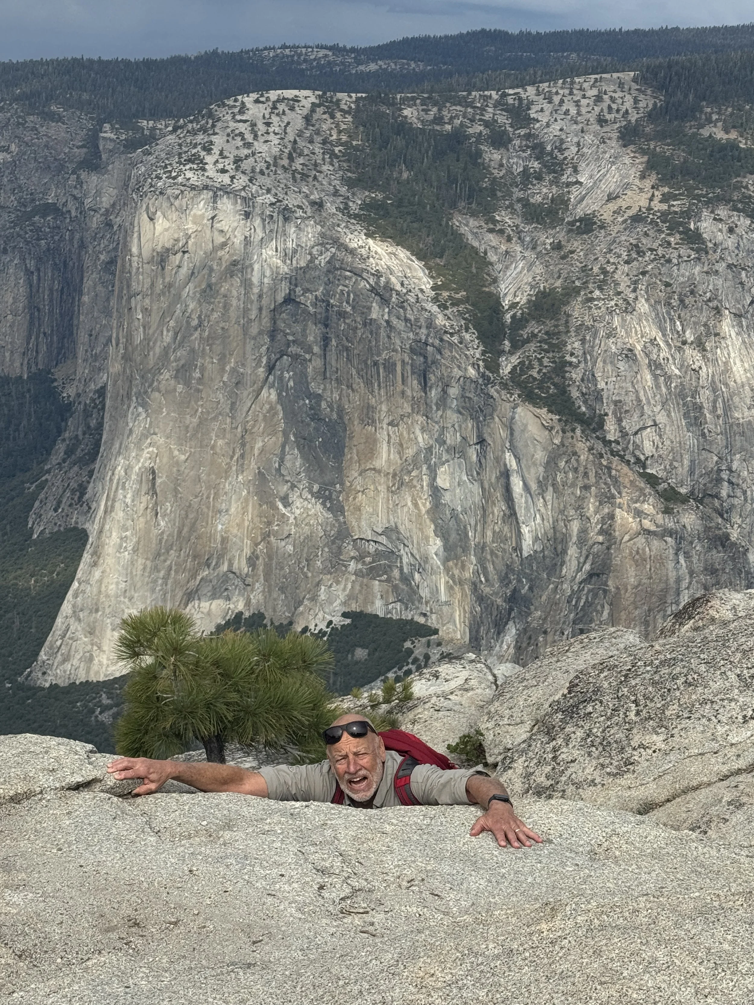
Taft Point and The Fissures
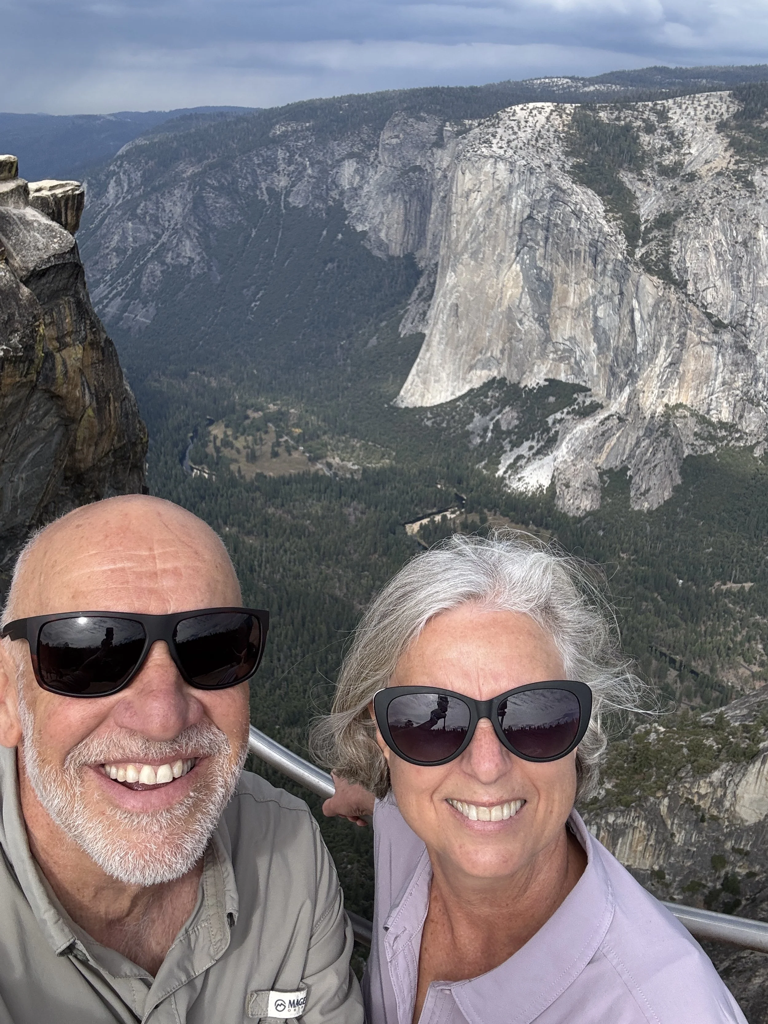
The hike to Taft Point was fairly easy through a beautiful forest. The elevation at the point is around 7500 feet and has some stunning views down to Yosemite Valley where we could see our old friend, El Capitan. Taft Point is another granite dome, but the unique features about this dome are the fissures. Fissures are very scary long cracks in the rock so you have to be careful walking around. They are sometimes wide and always very deep!
Taft Point Hike and Views
The Fissures

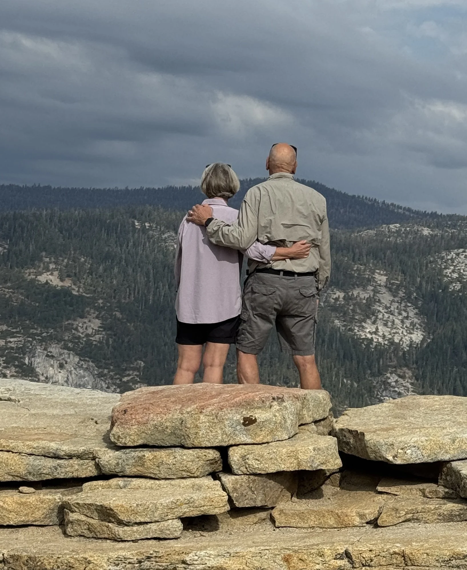
Taft Point
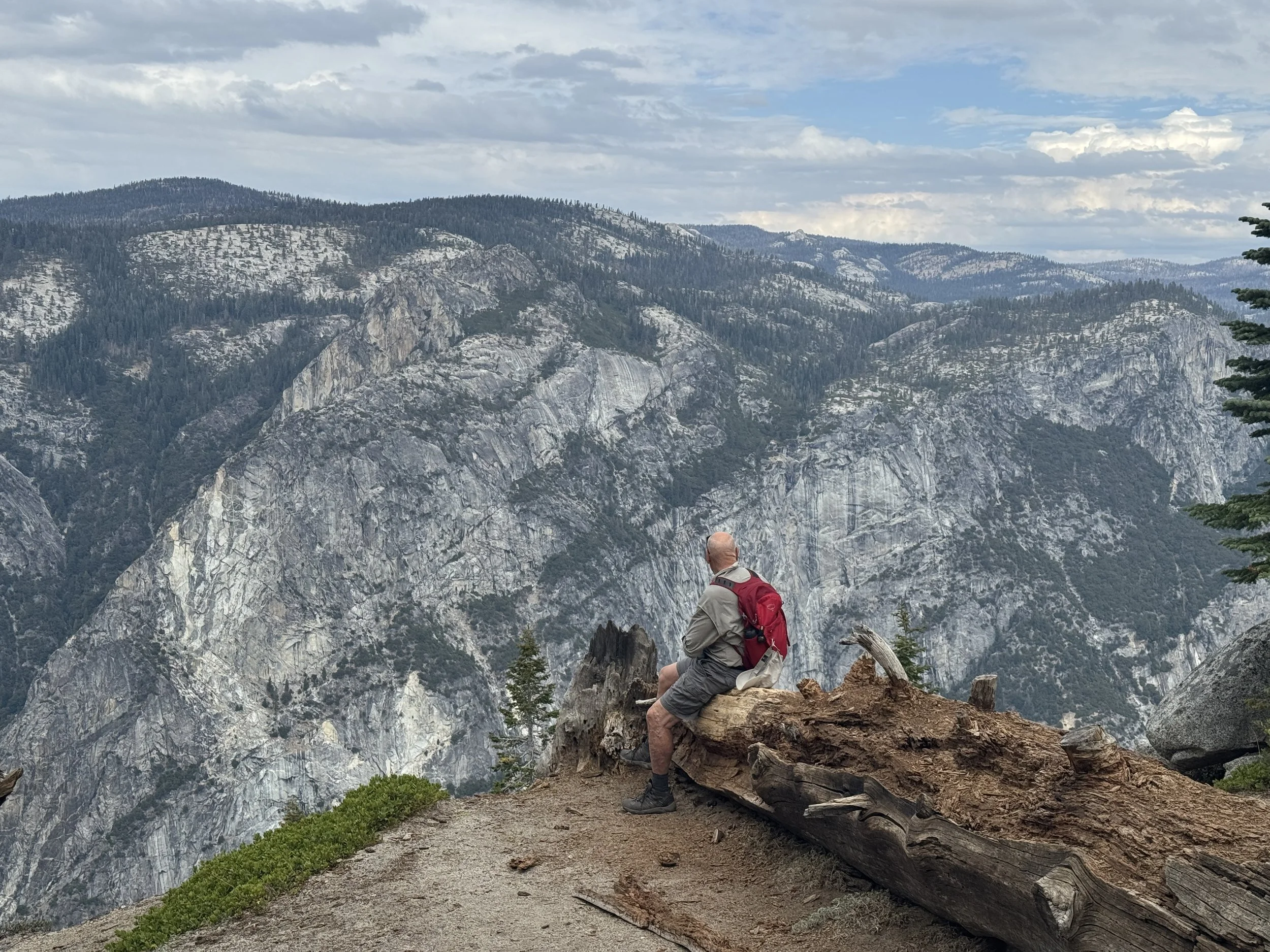
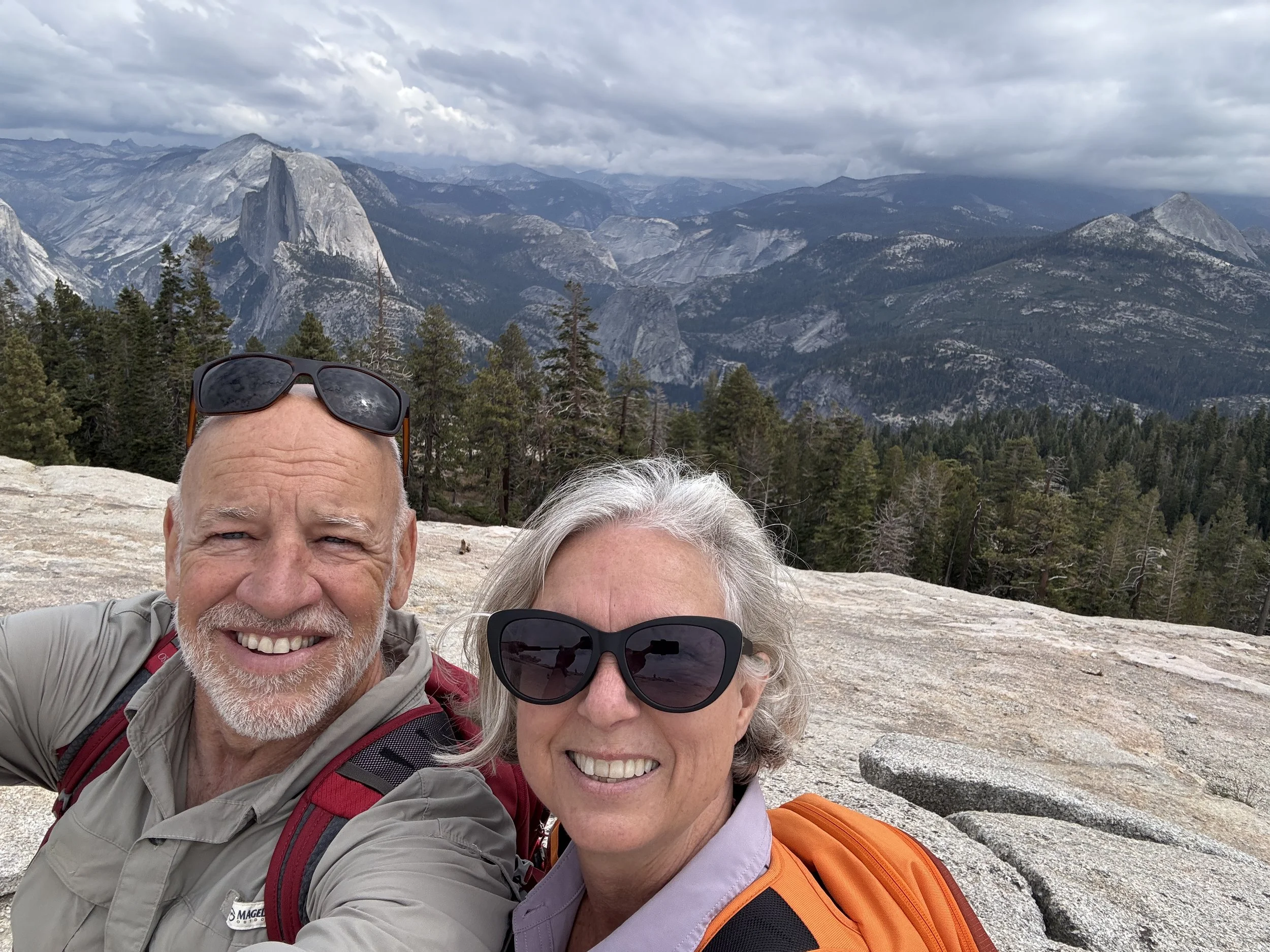
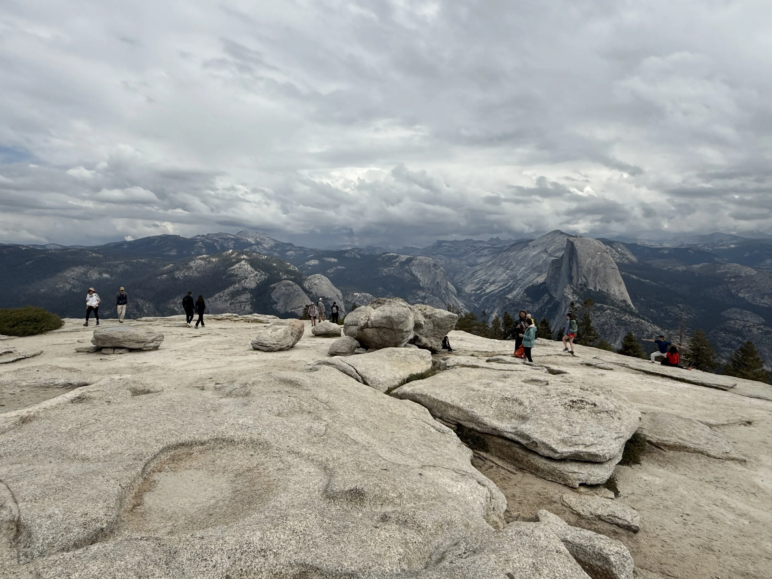
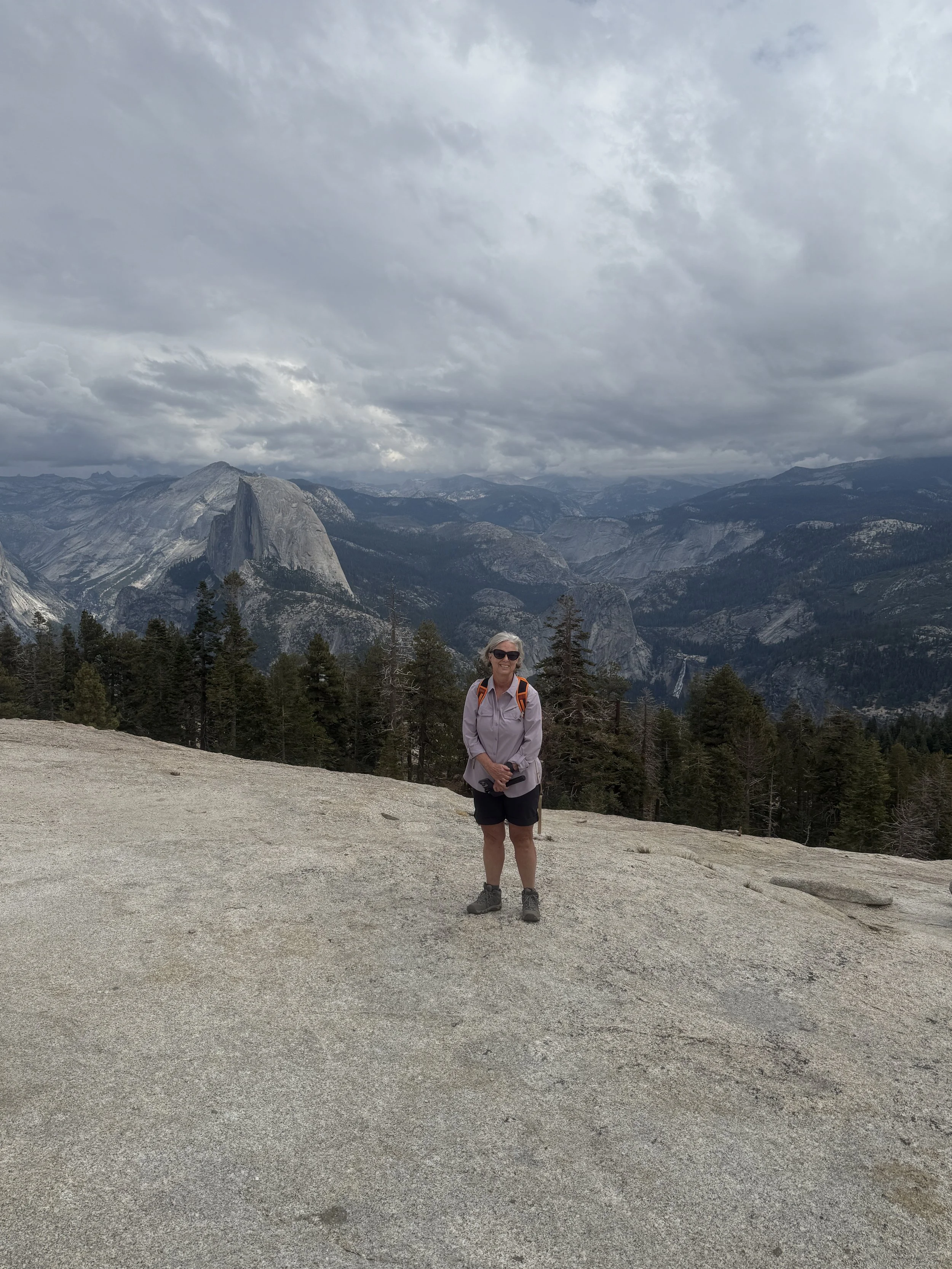
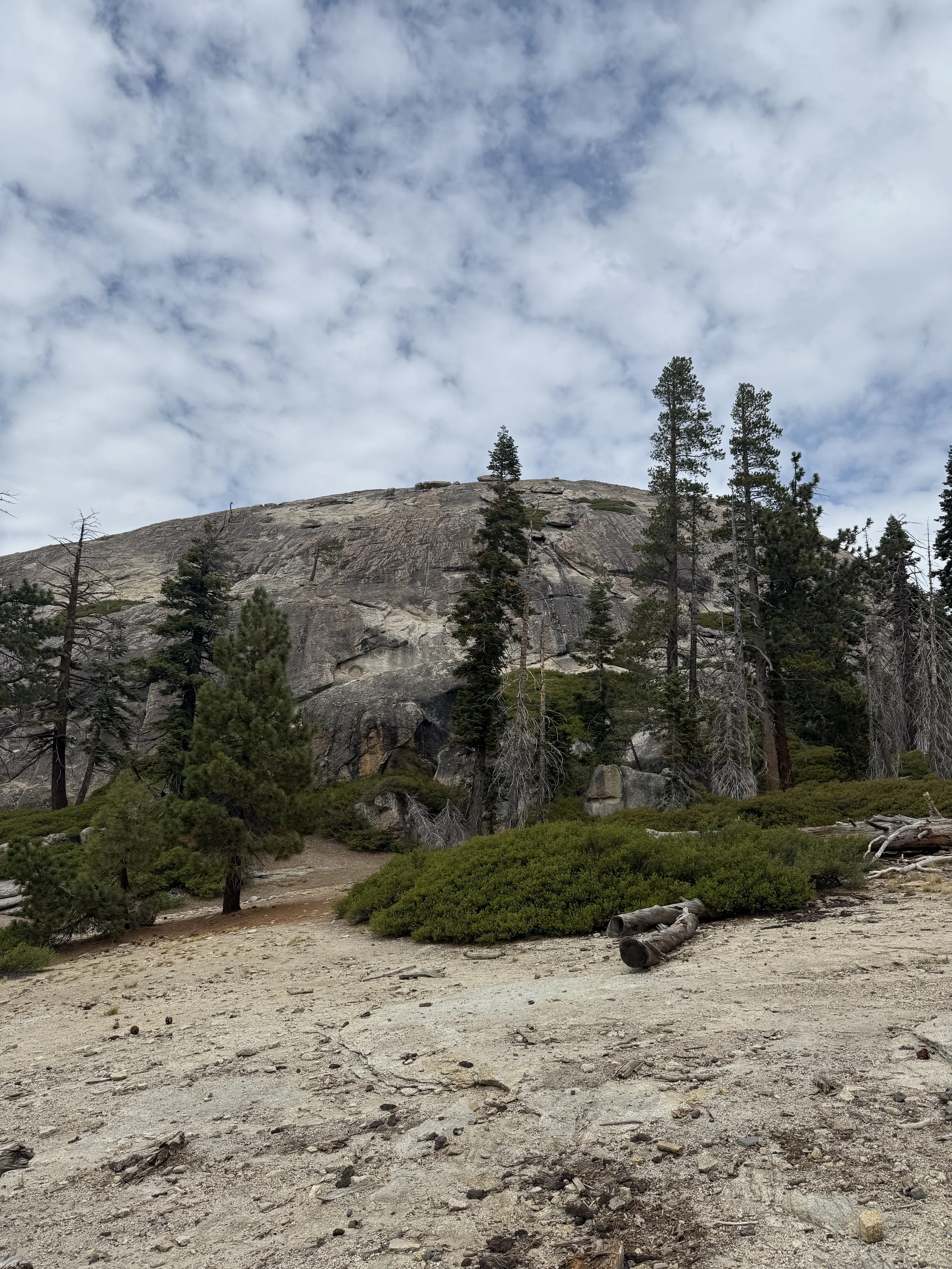
Sentinel Dome
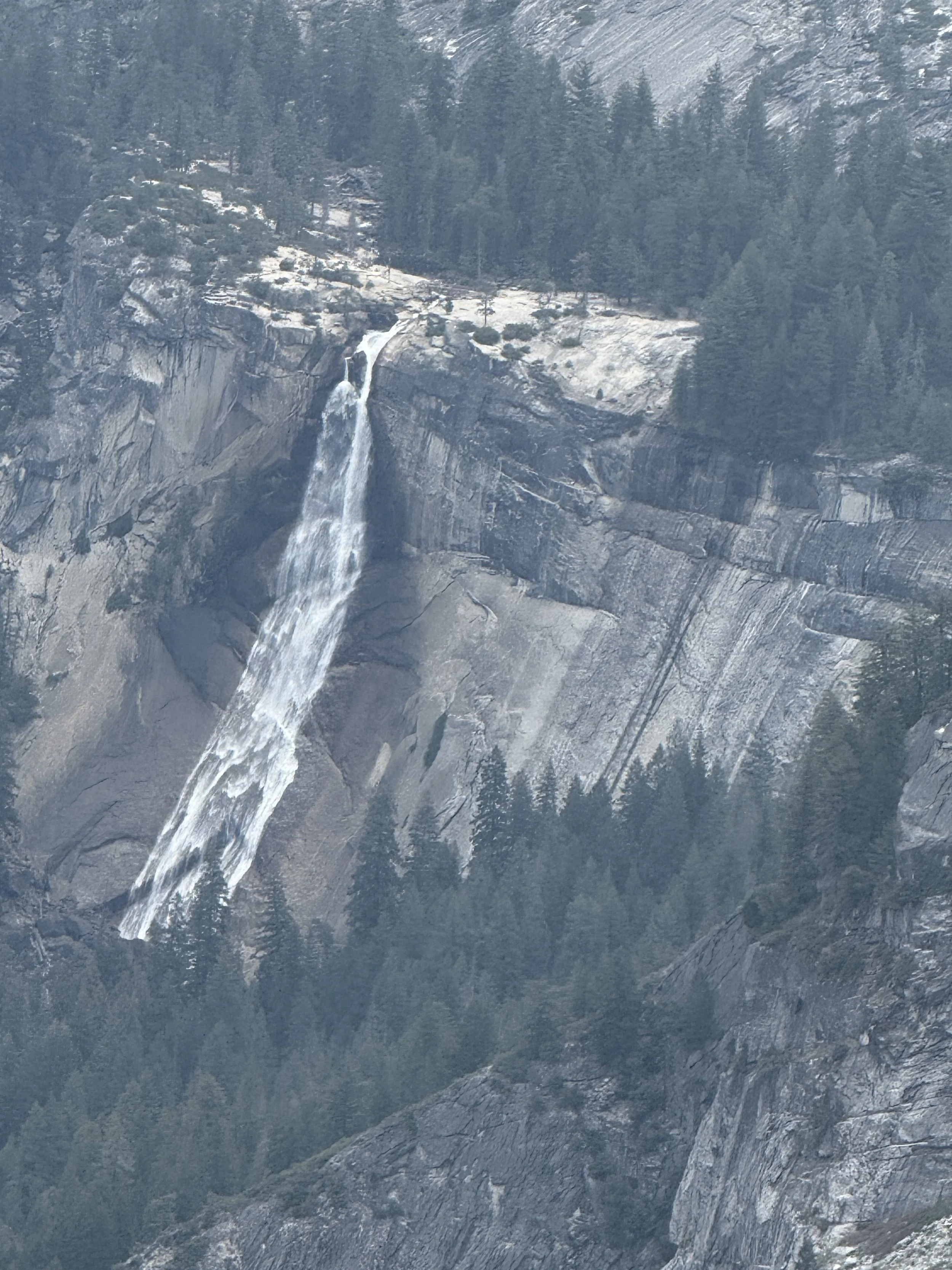
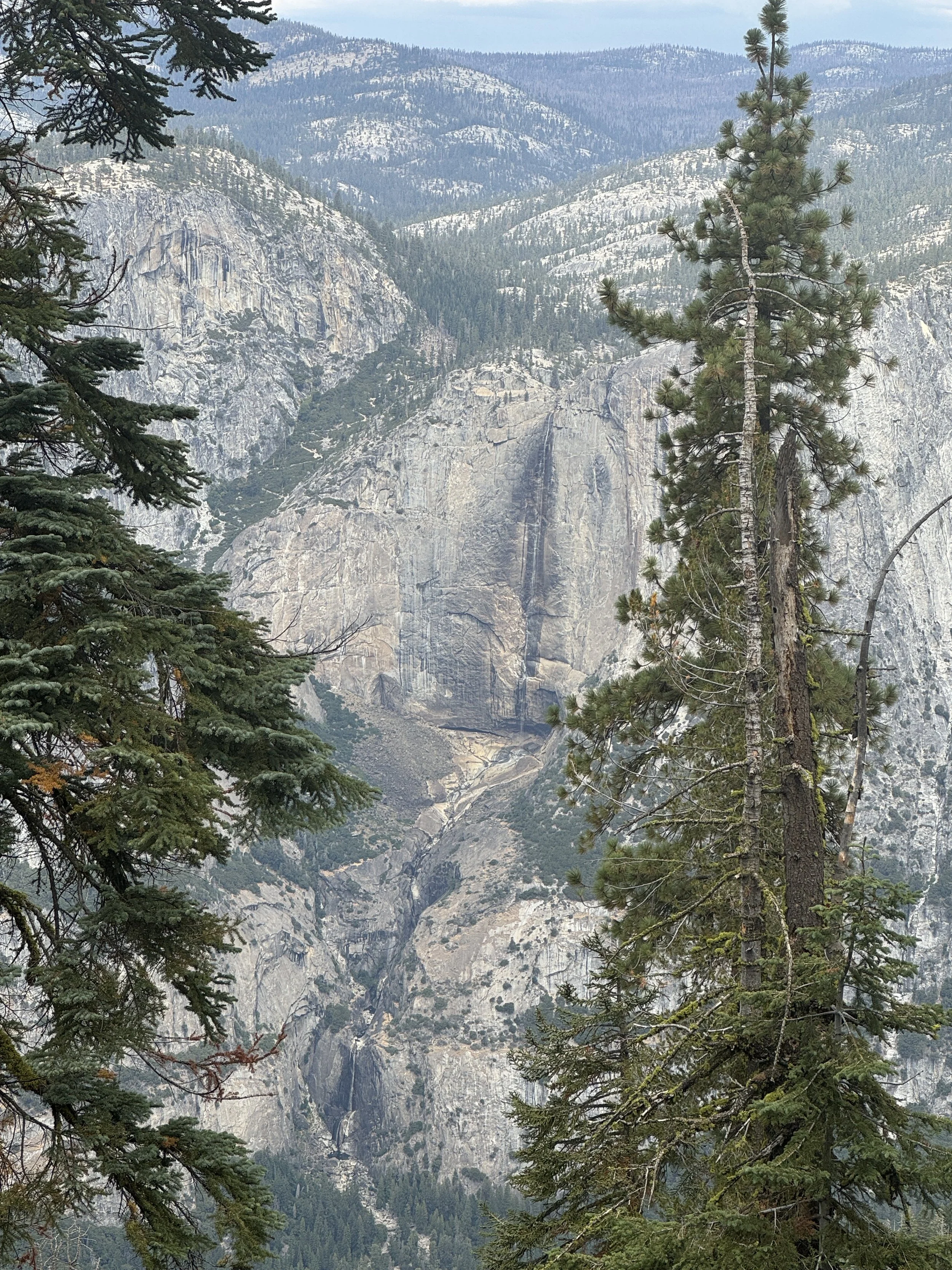
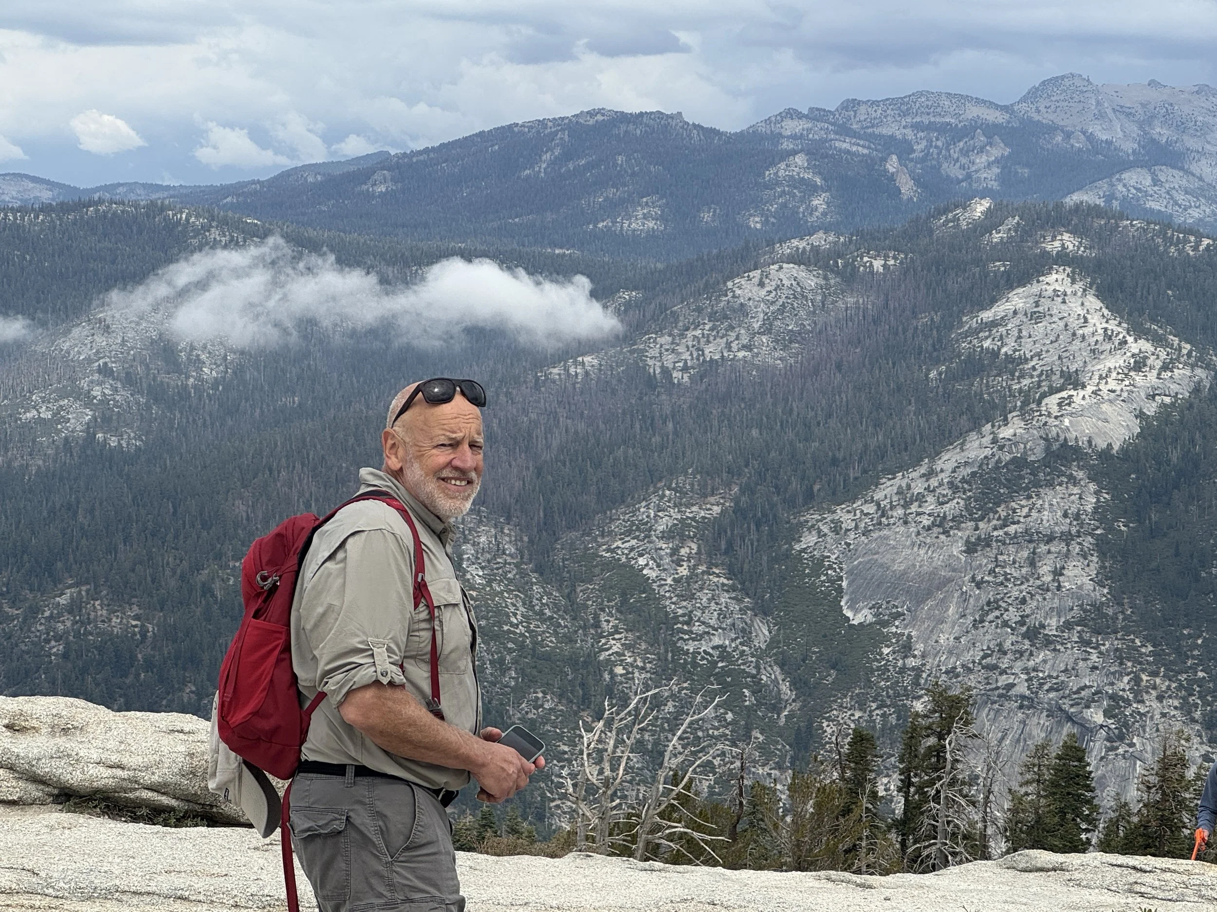
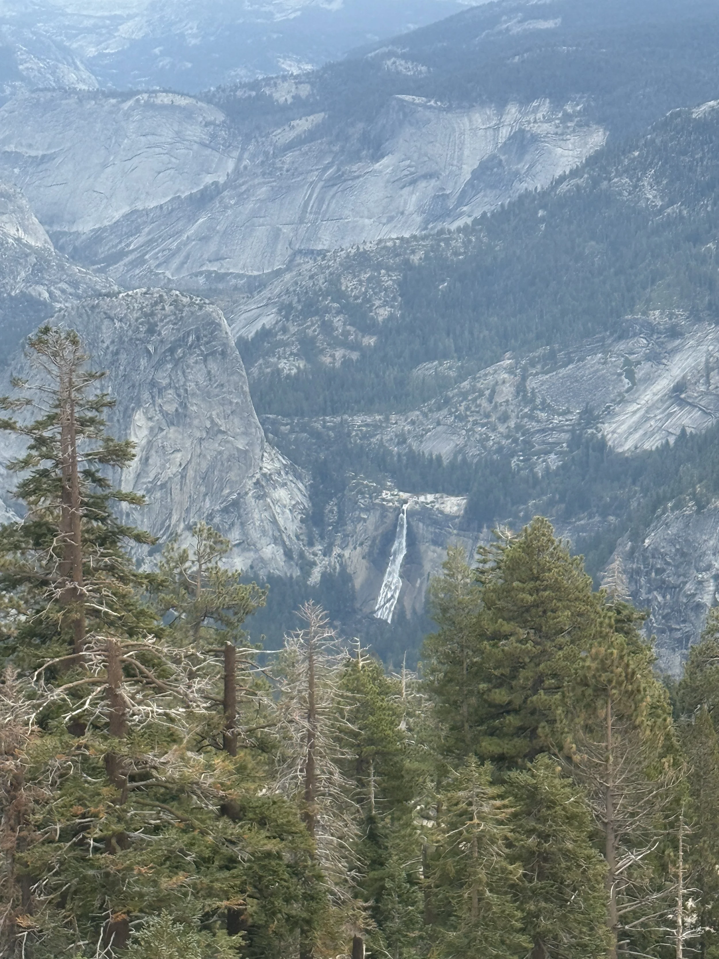
As we continued on to Sentinel Dome, the hike got steeper and more challenging. The spectacular views of of the valley continued from Roosevelt Point where we saw our first glimpse of Yosemite Falls. This waterfall was almost completely dry, so we couldn’t really see it from down in the valley. Once we got up high, we could see just a tiny trail of water from both the upper and lower falls. Yosemite Falls is usually roaring during the spring and early summer but by autumn there isn’t much water. We finally reached Sentinel Dome and scaled its bald granite surface to the summit where we were rewarded with a great view of Half Dome, Nevada Falls, and Vernal Falls.


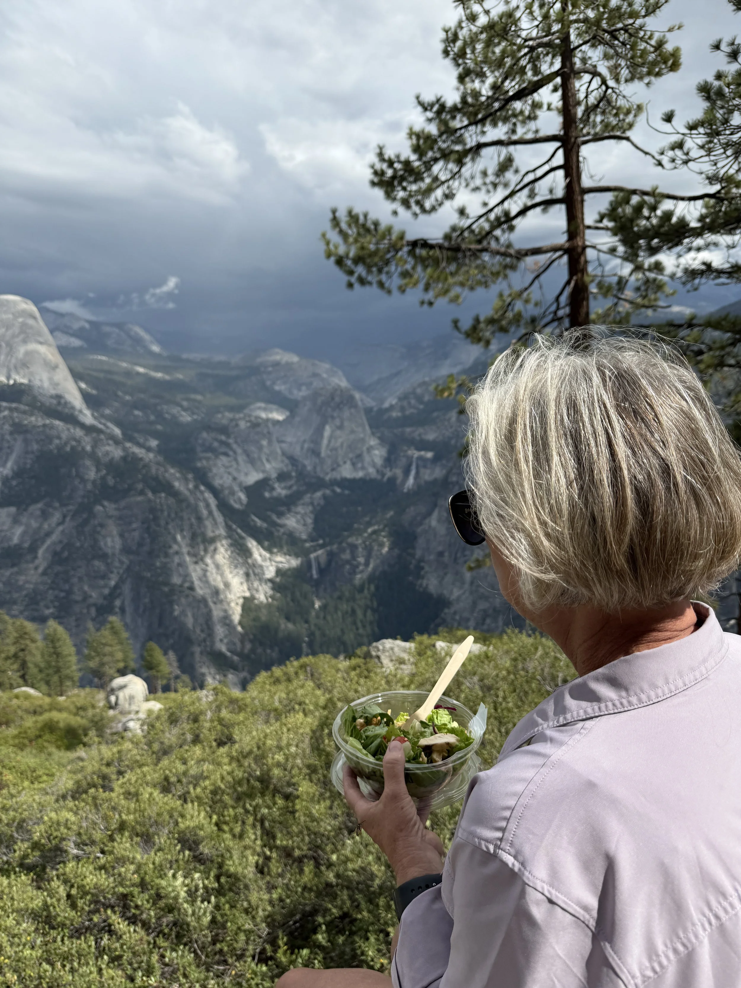
Glacier Point
After the hike, we drove the rest of the way to Glacier Point where we ate a picnic lunch. We enjoyed more views and watched as a storm rolled in. Very cool from above 7000 feet! As we made our way back down into Yosemite Valley, the rain continued most of the afternoon. The weather was perfect every day of our trip except this one afternoon. We were glad we got our hike done in the morning!